The Town Where Time Stood Still
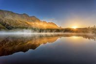
It's amazing just how much of a physical barrier a mountain range can be, such as the Riviersonderend Mountains in the Western Cape.

On the one side you'll find Greyton pretending to be a little green English village in say, Hertfordshire, and on the other side, in the dusty rain-shadow, you'll find McGregor, looking for all the world like a scene from Don Quixote, when the gallant hero trundles around the hot hills of La Mancha. Wide dusty streets, whitewashed homes, children, dogs, goats and a few slow pavement cafés all add to the illusion.
This dorp is at the end of the road in a very literal sense, in that the road that was supposed to run over the mountains from Robertson to Greyton kind of just peters out at Die Galg. Instead, there's the interconnecting Boesmanskloof Trail. This is definitely where time almost stood still, although there's a fancy new wine estate at the end of the valley - just to show there is life there.
A Road that Goes Nowhere

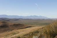
If you fancy taking roads that go nowhere, then the road up to Die Galg ('the gallows') is one for you. McGregor is at the end of the line whichever way you go, be it on tar from Robertson or on dirt via Stormsvlei and Bonnievale. There was a plan to build a road over the Riviersonderend Mountains between McGregor and Greyton, and the surveying was done long ago.
During WWII, labour arrived in the form of Italian POWs, who could draw on 2 500 years of experience in these things. But the road had only reached Die Galg, above the kloof itself, when that war ended. You'll have to walk the rest of the 17 km to Greyton on the Boesmanskloof Trail.